
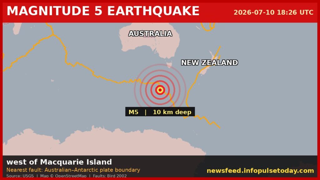
MACQUARIE ISLAND, July 10 — A magnitude 5 earthquake struck west of Macquarie Island on Friday, according to the U.S. Geological Survey. The quake hit at 18:26 UTC at a depth of 10 kilometers, and no tsunami warning was issued.
The shaking was shallow. In plain terms, think of it like dropping a rock into a pond from just above the surface versus dropping it from a great height — the energy from shallow quakes has less distance to travel before it reaches the ground above, so it typically produces stronger shaking than a deeper quake of the same size. The USGS classifies any earthquake less than 70 kilometers deep as shallow, and this one was a tenth of that threshold.
Here’s what it means for anyone near the epicenter: earthquakes in the magnitude 5 range are considered moderate. They can cause minor to moderate damage close to the epicenter, but they are not the kind of large events that typically produce widespread destruction. The practical upshot is that buildings in the immediate area may rattle hard enough to crack plaster or knock items off shelves, but catastrophic collapse is unlikely at this magnitude.
A seismically active neighborhood
The area west of Macquarie Island is no stranger to shaking. The USGS records show that at least 64 earthquakes of magnitude 5.0 or greater have occurred within about 300 kilometers of this location over the past two decades. The strongest of those was a magnitude 6.3 event in 2016.
That history matters for a simple reason: the region sits in a tectonically active zone where the Australian Plate meets the Pacific Plate. The constant grinding and slipping of these plates produces a steady drumbeat of moderate quakes. Friday’s event fits that pattern.
Seismologists note that aftershocks are common following an earthquake of this size. They may continue for days or weeks. People in the affected area are generally advised to be prepared for further shaking, though no specific warnings have been issued beyond the standard guidance.
How the USGS detected it
The U.S. Geological Survey detected the event through its real-time global seismic monitoring network. That network consists of hundreds of seismograph stations around the world that continuously feed data to analysis centers. When a quake hits, the system automatically calculates its location, depth, and magnitude — often within minutes.
Macquarie Island itself is a small, uninhabited subantarctic island about halfway between New Zealand and Antarctica, administered by Australia. There are no permanent residents, though a research station operates there. Given the remote location, direct reports of shaking or damage are unlikely to come in quickly.
The bottom line for now: a moderate, shallow earthquake in a seismically active region, with no tsunami threat and the standard expectation of aftershocks. The USGS continues to monitor the area.




