
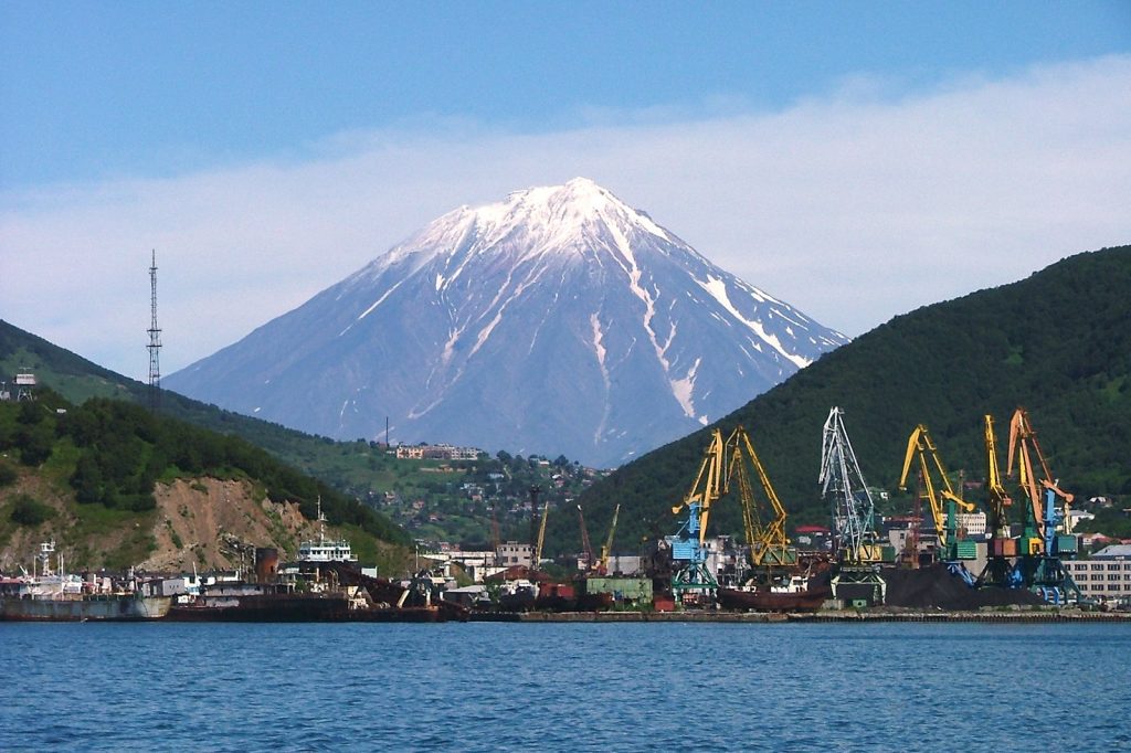
A magnitude 5.1 earthquake struck 190 kilometers south-southeast of the Russian port town of Vilyuchinsk early this morning, the U.S. Geological Survey reported. The tremor occurred at 02:42 UTC at a depth of just 10 kilometers, placing it firmly in the shallow category that seismologists define as anything shallower than 70 kilometers. Shallow earthquakes of this kind typically deliver more intense ground shaking at the surface than deeper events of equivalent magnitude.
The USGS detected the quake through its real-time global seismic monitoring network, which constantly tracks earth movements across the planet. No tsunami warning was issued following the event.
Earthquakes in the magnitude 5 range are classified as moderate, capable of causing minor to moderate damage near the epicenter, though no immediate reports of harm or destruction have emerged from the sparsely populated region.
A Region Shaped by Colliding Plates
The epicenter lies along the Kamchatka Peninsula, a long, volcanic landmass in the Russian Far East that stretches between the Sea of Okhotsk to the west and the Bering Sea to the east. The peninsula’s eastern coast sits squarely on the Pacific Ring of Fire, a vast horseshoe-shaped zone encircling the Pacific Ocean that is notorious for frequent earthquakes and volcanic eruptions.
Its dramatic terrain includes mountain ranges, deep submarine trenches such as the Kuril-Kamchatka Trench, and a chain of active volcanoes recognized as a UNESCO World Heritage Site. The tectonic machinery driving this seismic activity is the relentless collision of the Pacific Plate, which dives beneath the Okhotsk Plate along the Kamchatka Trench. This subduction process generates frequent and sometimes enormous earthquakes.
The remote peninsula has a sparse population concentrated largely in its southern half, particularly in the capital, Petropavlovsk-Kamchatsky, and nearby towns. Historically, the rugged landscape and harsh climate have shaped settlement patterns, with communities often clustered near the coast or in fertile river valleys.
A Decade of Powerful Tremors
Today’s magnitude 5.1 event is far from isolated in this restless region. Over the past two decades, at least 500 earthquakes of magnitude 5.0 or greater have been recorded within roughly 300 kilometers of this spot, according to USGS data. The largest during that period was a magnitude 8.8 earthquake in 2025 — a reminder of the immense forces at work beneath the Kamchatka region.
That 2025 event dwarfs today’s moderate quake, but it remains fresh in the recent memory of seismologists who track the area’s crustal movements. The 5.1 serves as a modest but notable data point in a long-term pattern of steady tectonic release.
What Follows a Moderate Earthquake
Seismologists note that aftershocks are common following an earthquake of this magnitude. They may continue for days or even weeks, and people in the affected area are generally advised to remain prepared for further shaking. The USGS will continue to monitor the region through its global network, watching for any secondary events that could follow the initial rupture.
The shallow depth — just 10 kilometers — means that anyone near the epicenter likely felt a sharp jolt, although no reports of injury or property damage have surfaced. The coming days will tell whether this event is the main shock or simply a precursor to something larger.
For now, the trend underneath is clear: the Kamchatka Peninsula sits astride a major tectonic boundary where the earth moves often. Today’s 5.1 is a reminder that the machinery is always running. Events here offer insight into the broader patterns of seismic risk across the Pacific Rim, a zone where the United States Geological Survey and other agencies maintain constant watch to help protect lives and property.




