A magnitude 6.1 earthquake struck off the coast of Tokyo in the sea off Japan’s Kanto region on Friday at 7:39 p.m. local time (1039 GMT), the Japan Meteorological Agency said on its website. The agency measured the quake at a shallow depth of 10 kilometers and recorded a maximum seismic intensity of 3 on Japan’s 0-7 scale, forecasting minor sea-level changes below 0.2 meters with no damaging tsunami expected.
Origins in the Meiji Era
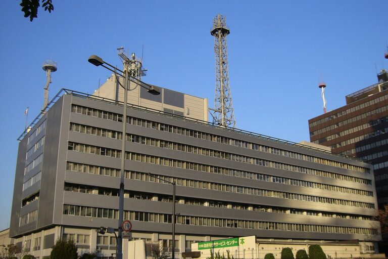
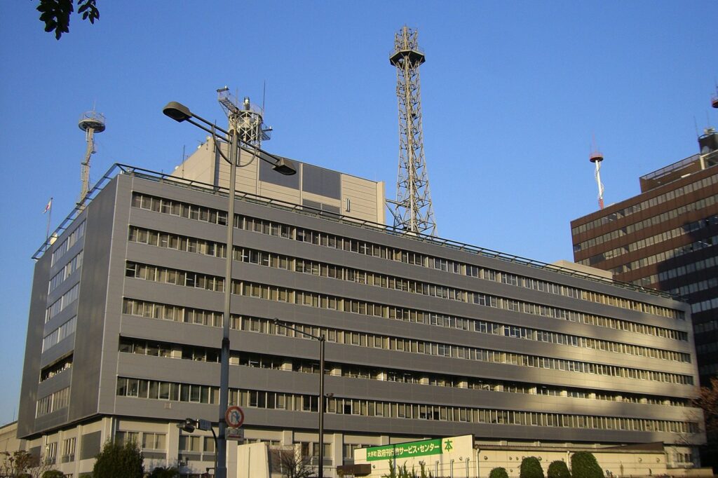
Meteorological organizations in Japan trace back to the 1870s, when the first weather stations were established during the Meiji modernization drive. The Tokyo Meteorological Observatory formed in June 1875 within the Survey Division of the Geography Bureau of the Home Ministry. It was renamed the Central Meteorological Observatory in 1887 and has operated under its current name, the Japan Meteorological Agency, since 1956. Since the 2001 government reorganization, the JMA has functioned as a division of the Ministry of Land, Infrastructure, Transport and Tourism, headquartered in Minato, Tokyo.
Real-Time Sensor Network and Data Protocols
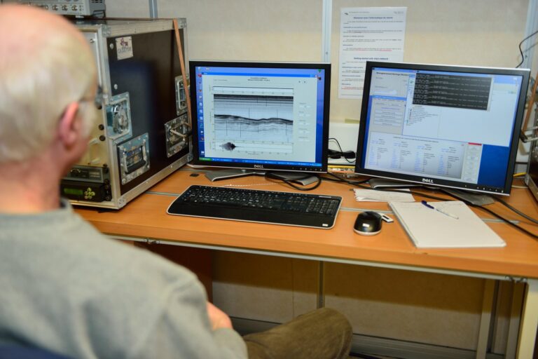
The agency collects data across meteorology, hydrology, seismology, and volcanology, feeding the nationwide Earthquake Early Warning system. When Friday’s tremor occurred, the JMA issued its initial intensity bulletin two minutes after the shaking began, followed by updated information identifying the epicenter at 35.0 degrees north and 142.2 degrees east and the magnitude of 6.1. The agency’s protocol issues seismic-intensity information promptly when readings reach level 3 or higher, giving authorities and residents a location-specific picture of ground motion.
Calculating Depth, Magnitude, and Intensity
Japan distinguishes between magnitude, which measures the energy released at the source, and seismic intensity, which describes shaking at specific locations. The JMA scale has ten levels ranging from 0 to 7, including lower and upper divisions for levels 5 and 6. At intensity 3, “almost everyone indoors feels the shaking” and “dishes on shelves may rattle,” the agency said. Friday’s readings hit intensity 3 across parts of Miyagi, Fukushima, and Ibaraki prefectures, including municipalities such as Ishinomaki, Koriyama, and Hitachi, even though the epicenter lay offshore to the southeast.
Tsunami Assessment and Public Warning
At 7:53 p.m., 14 minutes after the earthquake, the JMA issued a tsunami forecast for the Kujukuri and Sotobo coastal areas of Chiba Prefecture. The agency estimated sea-level changes would remain below 0.2 meters and could persist for two to three hours. It described the possibility of slight sea-level changes rather than issuing a tsunami warning or advisory, noting that minor fluctuations could occur along Japan’s coast but were not expected to cause damage. The distinction matters because the JMA issues different alert tiers based on projected wave height, and the forecast confirmed the threshold for a warning was not met.
Sources
- Magnitude 6.1 earthquake hits off coast of Tokyo
- Japan Meteorological Agency
- High waves around Ogasawara Islands expected as Typhoon In-fa approaches
- Typhoon No. 31 Accelerates Away From Japan
- Japan Hit by Magnitude-6.1 Earthquake Off Eastern Coast
- Tropical Depression 99W Forms East of the Marianas, Forecast to Become a Typhoon by 10 November
Photo: Suisui (Public domain)