
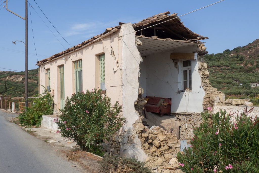
A magnitude 6 earthquake struck 75 kilometers south-southwest of this Mexican town shortly before 8 p.m. local time Tuesday, the U.S. Geological Survey reported. The quake, detected by the USGS’s real-time global seismic monitoring network at 19:45 UTC, occurred at a shallow depth of 10 kilometers.
No tsunami warning was issued. The temblor was felt by at least seven people who reported the shaking to the USGS, a figure expected to rise as accounts emerge from the sparsely populated corridor between El Progreso and the Pacific coast.
A Shallow Rupture With Heightened Risk
Seismologists classify earthquakes shallower than 70 kilometers as shallow. At just 10 kilometers deep, Tuesday’s event allowed the energy released at the fault to travel through relatively little rock before reaching the surface. That means the shaking was more intense than it would have been if the same magnitude had occurred at a greater depth. A magnitude 6 earthquake is considered strong and capable of causing significant damage in populated areas close to the epicenter.
The shallow nature of Tuesday’s rupture amplifies that potential danger for any communities nearby, though the immediate vicinity is not densely populated. The region has a long history of seismic violence driven by the ongoing collision of tectonic plates along Mexico’s Pacific coast.
Over the past two decades, at least 89 earthquakes of magnitude 5.0 or greater have been recorded within approximately 300 kilometers of this spot. The largest among them was a magnitude 6.7 event that struck in 2015—stronger than Tuesday’s quake. That history means the area is well accustomed to the ground shaking, but each new earthquake carries its own distinct risk.
A shallow event like Tuesday’s can produce stronger surface motion than deeper quakes of comparable size, a fact that underscores the importance of preparedness even in seismically active zones.
What Comes Next: Aftershocks and Preparedness
Seismologists warn that aftershocks are common following an earthquake of magnitude 6. They may continue for days or even weeks.
People in the affected area are generally advised to be prepared for further shaking. The USGS continues to monitor the region for any additional seismic activity. The seven reports submitted to the USGS so far are expected to increase as more people in the sparsely settled area between El Progreso and the Pacific coast share their experiences.
That low population density may help explain why initial reports are limited despite the quake’s strength and shallow depth. The broader context is one of a restless geological setting.
The Pacific coast of Mexico sits atop a major plate boundary where the Rivera and Cocos plates subduct beneath the North American plate. This constant collision generates frequent earthquakes, and the record over the last twenty years shows that moderate to strong events are routine within a few hundred kilometers of Tuesday’s epicenter. The 2015 magnitude 6.7 earthquake—the strongest in the region during that two-decade period—serves as a reminder of the potential for even greater shaking.
While Tuesday’s magnitude 6 quake is a powerful event in its own right, it falls short of that earlier benchmark. For residents and emergency managers, the key takeaway is that shallow earthquakes pack a concentrated punch.
The same magnitude at a deeper depth would likely have produced weaker shaking on the surface. With the USGS keeping watch and aftershocks likely in the coming days, the region remains on alert. The ground here has never been still for long, and Tuesday evening’s lurch is the latest chapter in a long seismic narrative written by moving plates far beneath the surface.




