HONOLULU, July 17 — By the numbers, the global effort to detect tsunamis before they hit coastlines depends on a patchwork of sensors, buoys, and international agreements that are only as good as the science connecting earthquakes to the waves they generate. The bottom line: The connection between earthquakes and tsunamis is not fully understood, limiting system reliability. Tsunamis travel at 500–1,000 km/h in open water.
Earthquakes, by contrast, are detected almost instantly as seismic waves travel at about 4 km/s — roughly 14,400 km/h. That speed difference allows time for forecasts and warnings, but only if the sensors are in place and the data is interpreted correctly.
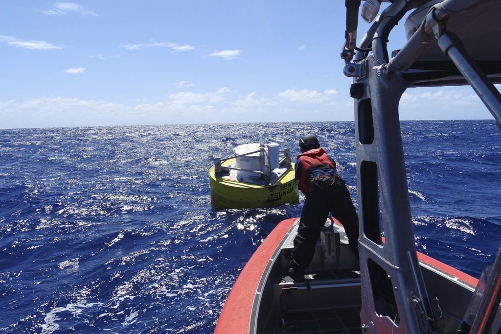
A tsunami warning system uses a network of sensors to detect tsunamis and a communications infrastructure to issue timely alarms for coastal evacuation. Seismic alerts instigate watches and warnings; then data from sea level height — either shore-based tide gauges or DART buoys — verifies whether a tsunami actually exists. Other systems proposed include using t-wave energy, which is earthquake energy traveling through the ocean’s SOFAR channel, to indicate tsunami potential.
The first rudimentary system was attempted in Hawaii in the 1920s. More advanced systems followed the April 1, 1946 tsunami from the 1946 Aleutian Islands earthquake, and the May 23, 1960 tsunami from the 1960 Valdivia earthquake, which devastated Hilo, Hawaii.
The Pacific network
The Pacific Tsunami Warning Center, operated by NOAA in Ewa Beach, Hawaii, issues warnings for most of the Pacific Ocean. PTWC was established in 1949 after the 1946 Aleutian Island earthquake and tsunami that killed 165 in Hawaii and Alaska. NOAA’s National Tsunami Warning Center in Palmer, Alaska, issues warnings for North America — Alaska, British Columbia, Oregon, California, the Gulf of Mexico, and the East coast.
NTWC was founded in 1967. International coordination runs through the International Coordination Group for the Tsunami Warning System in the Pacific, established by UNESCO’s Intergovernmental Oceanographic Commission.
Chile’s ground-based approach
In 2005, Chile began implementing the Integrated Plate boundary Observatory Chile, a network of 14 multiparameter stations monitoring a 600-km seismic zone between Antofagasta and Arica. Each station has a broadband seismometer, accelerometer, and GPS antenna; four have short-base tiltmeters. After the 2010 Maule earthquake, long-base tiltmeters and STS2 seismometers recorded long-period signals.
Similar signals were seen in India and Japan after the 2004 Indian Ocean earthquake and tsunami. Simulations in 2013 on historical data showed tiltmeters and broadband seismometers are valuable for monitoring tsunamis alongside tide gauges.
For the 2010 Maule earthquake, tilt-sensors detected a discriminating signal starting 20 minutes before the tsunami’s arrival at the nearest coastline point.
The Indian Ocean system
After the 2004 Indian Ocean tsunami — which killed almost 250,000 — a UN conference in January 2005 in Kobe, Japan, decided to establish the Indian Ocean Tsunami Warning System as an initial step. Investors will note that the technology gap between detection and warning has narrowed, but the fundamental limitation remains: the physics linking a given earthquake to a tsunami is not fully mapped. The figure that matters is the minutes between detection and wave arrival — and those minutes depend on sensors that are expensive to install and maintain across thousands of kilometers of ocean.