A major earthquake with a magnitude of 7.4 shook Mexico’s Pacific coast on Friday, according to data released by the U.S. Geological Survey. The temblor occurred at 14:48 UTC, placing it 71 kilometers west-southwest of the coastal town of Puerto Madero. The rupture originated at a shallow depth of 10 kilometers, a factor that typically amplifies the intensity of ground shaking compared with deeper earthquakes of equal magnitude.
Seismologists classify magnitude 7.4 as a major event — the threshold for that category is magnitude 7.0 or greater — and warn that such quakes are capable of causing serious, widespread damage in areas near the epicenter. The USGS, which detected the earthquake through its global real-time seismic monitoring network, reported that no tsunami warning was issued following the event.
A Region Accustomed to Seismic Activity
The region around Puerto Madero sits within one of the world’s most seismically active zones. Mexico lies at the convergence of several tectonic plates, with its long Pacific coastline marking the boundary where the Cocos Plate slides beneath the North American Plate.
This process of subduction has generated powerful earthquakes for centuries and places the country firmly along the Pacific Ring of Fire, a belt known for frequent tremors and volcanic activity. Historical USGS records show that at least 371 earthquakes of magnitude 5.0 or greater have been recorded within roughly 300 kilometers of the epicenter over the past two decades. The largest among them was a magnitude 8.2 earthquake in 2017. That event, along with the devastating 1985 earthquake that struck Mexico City, underscores the persistent seismic risk faced by the nation, particularly in densely populated areas.
For the current event, the shallow depth of the rupture — just 10 kilometers below the surface — meant the energy released had relatively little crust to traverse before reaching communities above. Shallow earthquakes, defined as those less than 70 kilometers deep, consistently produce stronger shaking at the surface than deeper quakes of the same magnitude.
Aftershocks and the Days Ahead
Seismologists note that aftershocks are common following an earthquake of this size and may continue for days or even weeks. People in the affected area are generally advised to remain alert and be prepared for further shaking.
The USGS monitoring network provides real-time data that allows scientists to assess the size, location, and depth of each aftershock as it occurs, making the agency the primary source for tracking the sequence of events. The coming days will reveal the pattern of aftershocks, but the historical record in this region — with hundreds of significant quakes over two decades — indicates that Friday’s event is part of a long-term seismic pattern rather than an isolated anomaly.
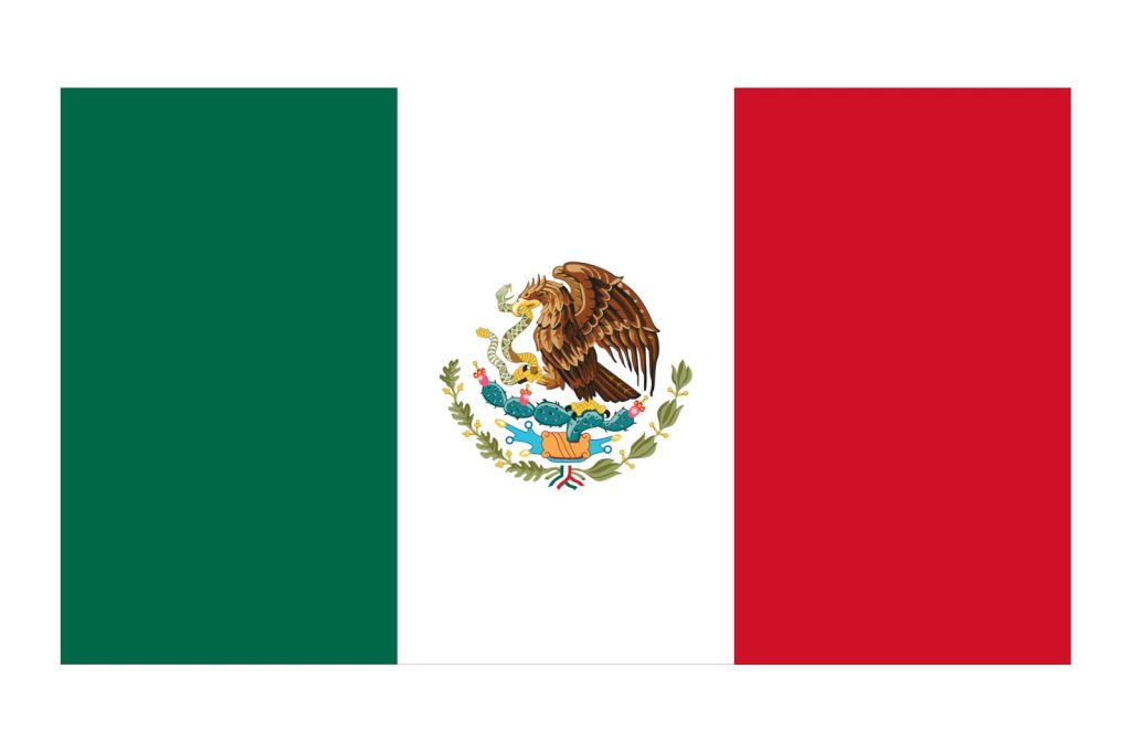
Mexico’s geography, bordered by the United States to the north and Guatemala and Belize to the southeast, with extensive Pacific and Gulf of Mexico coastlines, places it squarely in a zone where earthquakes are not rare but an expected aspect of its geology. Infrastructure, emergency response systems, and public safety measures remain recurring concerns given the combination of high population density and the region’s history of large tremors.
For now, the USGS continues to monitor the situation, providing critical data that helps authorities and residents understand the evolving seismic activity.
Sources
- Magnitude 7.4 Earthquake Strikes Off Mexico's Pacific Coast Near…
- 7.4-magnitude earthquake hits off southern Mexico coast, tsunami…